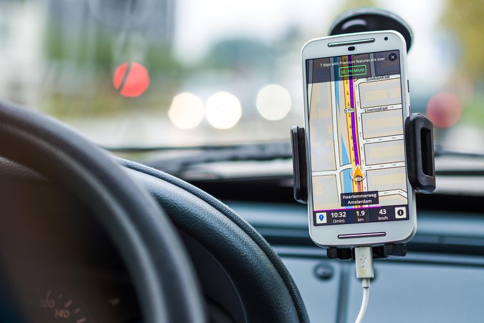
DoorCity solves the last 100 meters of navigation — where GPS fails. In dense cities, reaching the building is not enough. The real challenge begins after arrival: finding the correct entrance, navigating corridors, and reaching the exact door.
DoorCity is a sensor-based platform for indoor tracking, navigation, and building intelligence — operating without pre-existing maps and improving with every use.
Use cases: Emergency response • Field service • Delivery • Parking & underground navigation
Over 1 billion people live in dense urban environments today — projected to exceed 2.5 billion by 2050. In these environments, navigation does not end at the street.
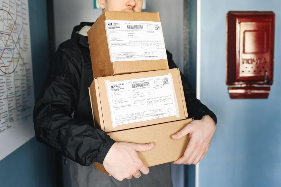
➢ Lost Deliveries → Lost revenue Packages reach the building, not the door ➢ Lost Time → Lost productivity Service workers spend time searching doors and hubs ➢ Lost Time = Lost Lives → Critical outcomes Delays affect emergency response